
Ecobot
Field reporting moved from paper to the phone.
Challenge
Environmental professionals conducting wetland delineations relied on paper forms, spending 30 to 60 minutes per form turning field notes into regulatory documentation, entirely separate from GIS.
Solution
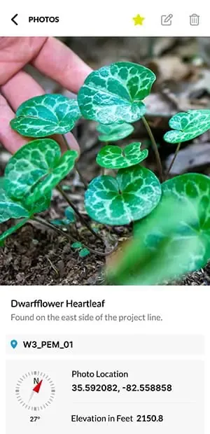
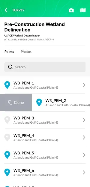
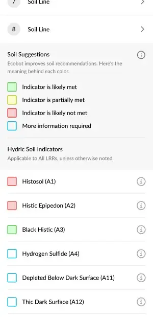
As founding mobile engineer, Brian built the first version of Ecobot’s iOS app. It captures wetland delineation data, vegetation surveys, and hydric soil observations on the device, with offline entry, automated USACE dominance calculations, GIS mapping, and Regional Supplement references built in.
Form processing dropped from hours to minutes. Ecobot has grown into a leading platform for wetland delineation, used by field ecologists and environmental consultants across the country.
- Client
- Ecobot
- Sector
- Health & Science
- Role
- Founding mobile engineer, iOS
- Built with
- iOS, Swift, offline-first architecture, GIS
Images courtesy of ecobot.com